Trip Report – Lagoon Creek Gold Mine Recce.
Friday 19th February 2021
Neil Flower TL Discovery
Roger Riley Discovery
Francois DaCosta 200 Landcruiser
with Phillip Favaloro
Eric Liney 79 Landcruiser
Rob Drummond Patrol

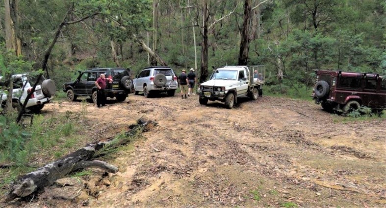


This is TRAX’s first trip for 2021 and it’s a recce. Neil had been researching the trip for weeks and had sent out numerous emails full of information. We were meeting at Macquarie Park Windsor at 8am. Francois had offered to take me, and I was getting picked up at 7am. We travelled out via Annangrove Road thinking we would be early but not earlier enough. Neil was there waiting for us. The rain held off while were at the park and Neil informed us that some people were unable to attend. Rob soon turned up in the Patrol and a couple of minutes after 8am (by Neil’s watch) were Roger and Judy in their Land Rover.
We turned onto Freemans Reach Road and went out through Kurmond. Roger topped up with fuel at the BP Kurmond and we kept going and let him catch up. The rain was back and there was poor visibility in a few spots along The Bells Line of Road. We were meeting Eric at Maccas Lithgow at 9:15am. At the Bell checking station I received a call from Eric. The usual “where are you”. It wasn’t long and we were all a Maccas eating and drinking (coffee). Neil produced his maps and was looking for someone to lead the trip, stating, he needed to train some of the younger members. Neil handed out the maps and we all checked out where we were going. Francois was thrown in the deep end to lead the trip or was that me? Neil prayed for us and a safe trip.
The convey left Maccas and turned onto the Great Western Highway and headed west towards Sunny Corner. Twenty-five km down the road we turned right into Sunny Corner Road. We were following Sunny Corner Rd around looking for Scotts Creek Rd as per the pretty Google map given to us by Neil with all the red highlighted roads and direction arrows. Across the CB radio came you have just passed Dark Corner Road. SO!!! That’s not what is on our map. Anyway, we got a little bit further up the road, delayed another vehicle and decided to turn right into West Mitchell Rd. We missed Cupitts Lane and did a U turn at Stringybark Rd and returned to Cupitts Lane.
Neil’s plan was to do a big loop. Drive Cupitts Lane turn left into Big Flat Fire trail, then left onto Central Loop Trail, another left onto Lagoon Creek Fire trail and lastly left onto Mount Schofield Rd. From here we would do another left down the trail to the Lagoon Creek Mine. The rain had stopped and so did our plans. We wanted more time to explore the mine site. Just past Mount Schofield Rd we stopped. We were still operating to the original plan. We aired down our tyres, before turning around and onto Mount Schofield Rd. Now we had to find the trail to the mine. As we reached a ‘Y’ in the road, we were advised we had gone too far (It helps when you have more than a paper map).
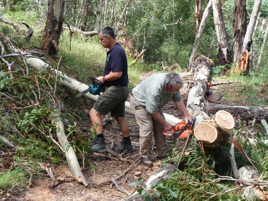
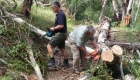
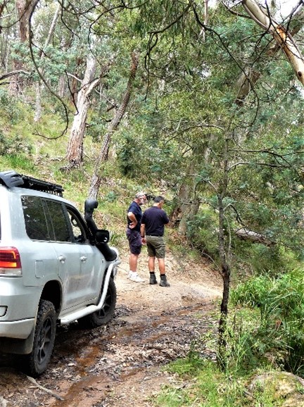
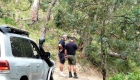
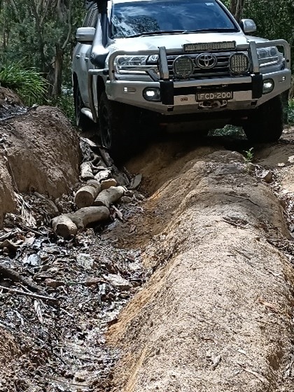
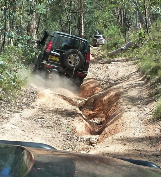
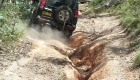
Roger took the lead and we followed. Half a kilometre down the track we come across a large tree across the track. Three chainsaws attacked the trunk making short work of it. Eric was using one of his larger saws and was making cut after cut, leaving those without saws to move the pieces off the track. Travelling on, the track soon became very rutted. This did not stop Roger but the rest of us used our spotters and were guided through the hazards. I even got to have a feast of blackberries. Nice!! I remember one right hand bend, there was a tree trunk jutting out. You needed to be careful not the cut the corner. Why people cannot cut off an extra foot or two amazes me. We were soon (not really) down the bottom / end of the track and setting up for lunch.
Ahhh, lunch time!
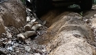
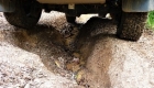
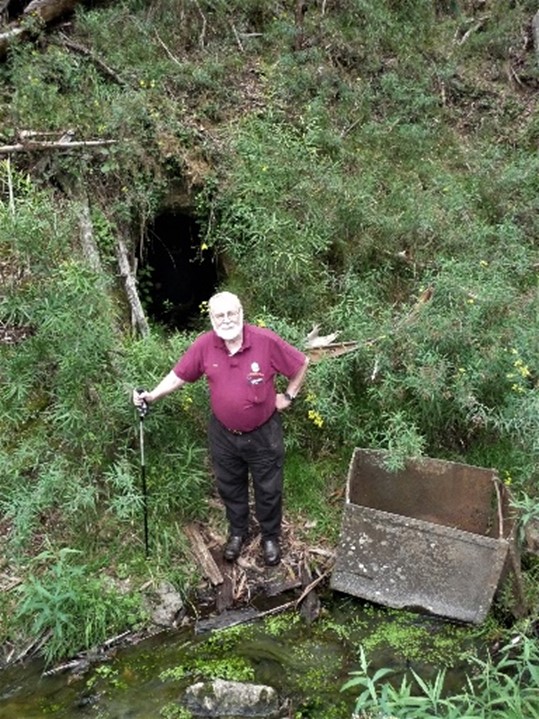
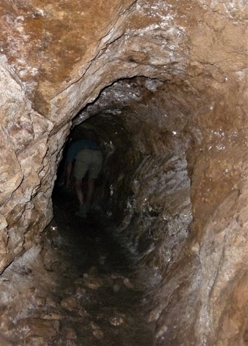
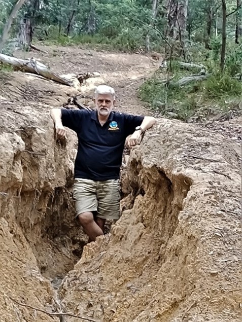
Roger built a fire and put on the camp oven. Rob set up the two-burner stove and cooked up an omelette, while the others munched on their bread rolls and sandwiches. After lunch (what a feast) some of us explored a very deep rut (good for checking under your vehicle) and the chicken track. This was going to be our way out. We refer not to go over the same track twice. Well, we came to explore and find the mine. The group divided and some crossed the creek while a few took the track and went around the fallen tree. We all came to the same spot, just different ways. Look, there over on the hill side, we found a mine. The prospectors had built stone walls and footing for rail tracks. We found the remains of an old rusty metal rail cart. Eric and Rob went inside to do some exploring. The light on my phone was not good enough. You needed a torch.
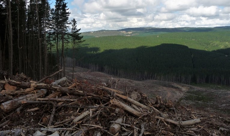
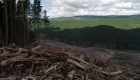
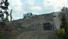
After leaving the mine, we followed the creek further into the bush. Neil returned to the vehicles as his back was not the best. We found two dams. The first one was smaller but had a little pool of water behind it. The wall was about 30cm thick. Further upstream was the second dam wall. This one was a metre or so thick and much higher, but no water. While we were at the second dam, Neil’s voice came across the CB asking where we were. Looks like it is time to head back and explore some more trails. We arrived back in time for afternoon tea. Out came the biscuits and hot water for tea. It was now time to get back on the track. Francois led off taking the chicken track to the left of the exceptionally large rut. We were going uphill and the road was rutted but not as bad as what we had been on before lunch. Francois pushed a few buttons and dialled a knob. The Landcruiser’s ABS grunted and squeaked will Francois pointed the vehicle in the direction of travel. We crawled up the hill making it look easy. At the top was a crossroad and directly in front another tree across the track. Roger was out with his chainsaw and the track was soon cleared. Mount Schofield Rd was only metres away. We turned right onto Mount Schofield Rd and was now looking for Lagoon Creek Firetrail. Looks like we must have passed it. Dam paper maps where is my moving map software. In the end we just decided to keep on going (after discussion). We came across another vehicle and the driver advised us about logging in the area. Just over the hill was the logging site. We stopped to take pictures. There were patches of green and larger patches of brown where the trees had been harvested. The track veered to the right around the logging site and we came up a hill to a sign saying Winburndale Reserve. Francois proceeded straight ahead and down the other side. Soon we came to a creek crossing and turned left. This turned out to be the wrong decision. Eric remembered from a past trip the track turning from a four-wheel drive track to a two-wheel track. Bikes only! Back over the creek and up the hill we were told to take the switch back track. We were now heading back to Macabees Rd. We travelled Macabees Rd. hoping to cut over to Sunny Corner Rd. Using MapsMe, I noticed a trail that would do the job. We turned left and to my disappointment we come a swampy, muddy section. The road didn’t look promising (not at this time of day) and returned to Macabees Rd. and headed toward Yetholme Drive. Just after passing Lyrebird Rd we could see the black top and stopped to air up our tyres and say goodbye. Roger left first, as he had not aired down. Neil prayed for us and a few started leaving but there was still a bit of chatter. We ended up following Neil out onto Yetholme Drive and onto the Great Western Highway. Francois decided to take the Great Western Highway and M4/2 home, and at the New Line Rd/Boundary Rd roundabout we snuck in front of Rob who had taken the Bells Line of Road but a ten-minute head start.
Thank you for a great day. Looking forward to the trip and see you on the tracks.
Remember: look out for the Lagoon Creek Gold Mine trip!