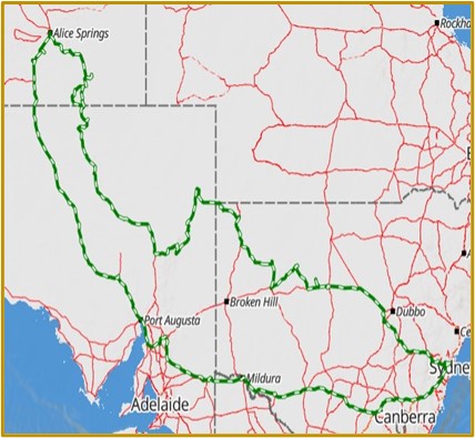
Trip Report – The Madigan Line Part 6
Monday July 3 – Thursday July 27, 2023
Rob & Alec Drummond – Nissan Patrol
Phillip Favaloro – Nissan Patrol
Continued…
We awoke next morning to a quiet day with a few twittering birds interrupting the peace. The peace didn’t last long, as having breakfast, the wind picked up, but as we had decided to do some washing, a little wind would be useful! Once the washing machine had finished doing its thing, the wind was now very strong and made hanging the washing an interesting task.
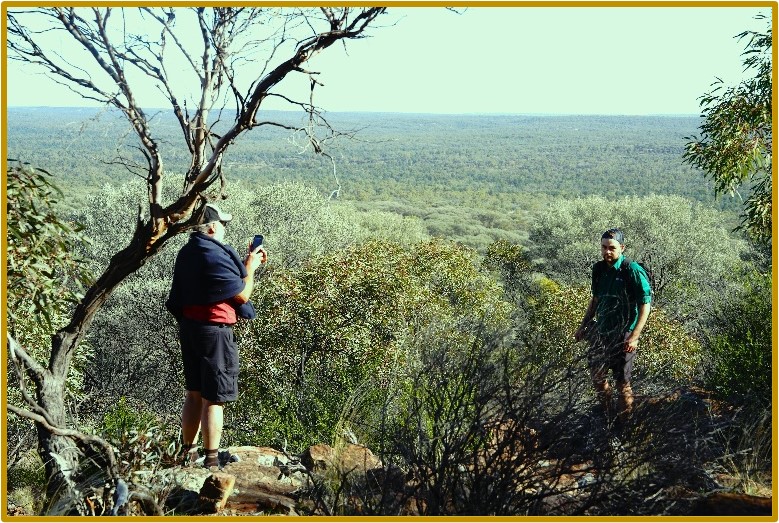
Rather than waiting for the washing to dry, we went for a drive around the immediate surrounds. If you haven’t been to Arkaroola before, ‘do yourself a favour’ as they say and do so. The scenery is spectacular and accessible by car and not too much walking, though if you’re more adventurous, there are longer walks.
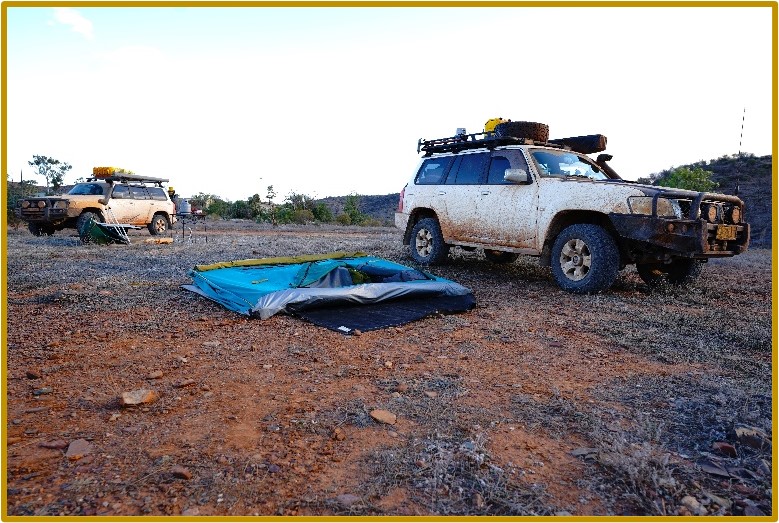
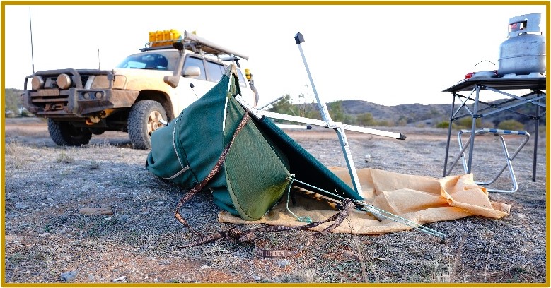
By the time we returned to camp that afternoon the washing was dry, but the camp had been flattened by the winds, with the Drummond tent lying on, and Phillip’s swag being tossed to, the ground. The Drummond tent was irrefixable as some of the componentry of the 30Second tent had succumbed, so we spent the rest of the day close to camp and trying to figure out how to get the tent up and liveable again. The Drummonds gave up and decided to take a room in the Resort which was at a good, budget rate of $90. We had dinner together then left Phillip to return to his swag.
The next morning, we joined up again, breakfasted, packed up and left, heading towards, Tibooburra.
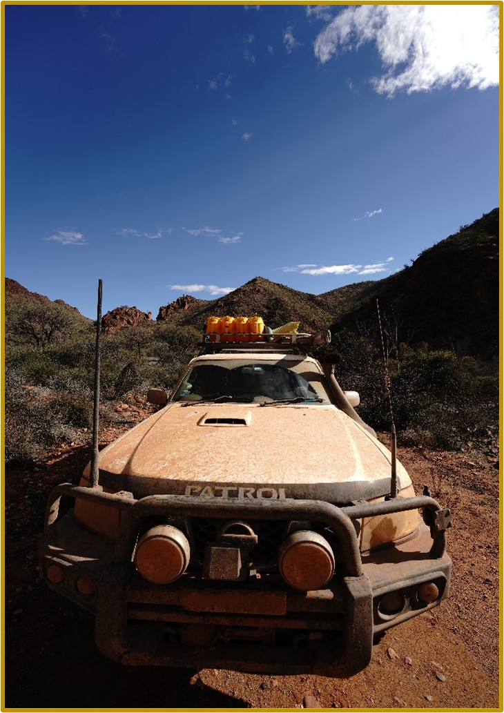
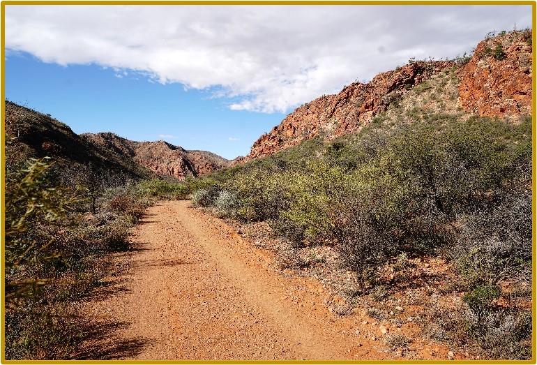
The track up to Mt Hopeless on the Strzelecki is a fairly easy run that passes on the eastern side of the Flinders Ranges to the west and dead flat ground to the east.
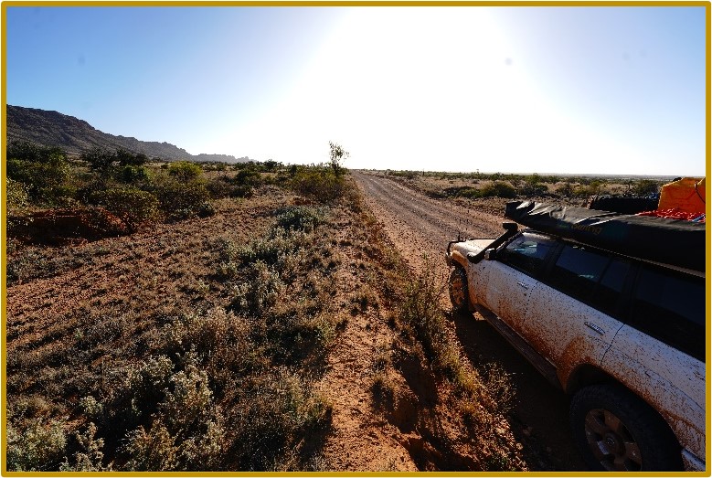
Once reaching the Strzelecki Track a turn to the right takes you 122kms before turning east towards Cameron Corner via Merty Merty. A surprising discovery was that long stretches of the ‘Track’ looked to have been recently sealed and as ever, the road signs out here were very clear, though they looked as though they had been recently washed out of the ground with floodwaters.
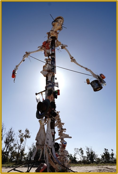
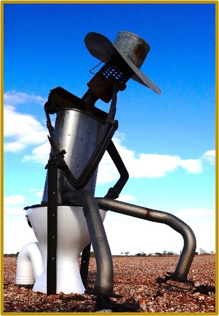
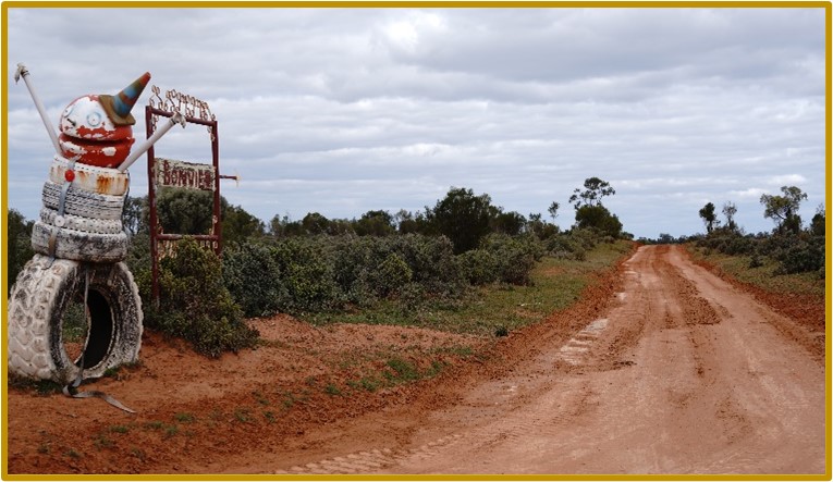
The track across from Merty Merty was unremarkable other than some sculptural attempts by the locals.
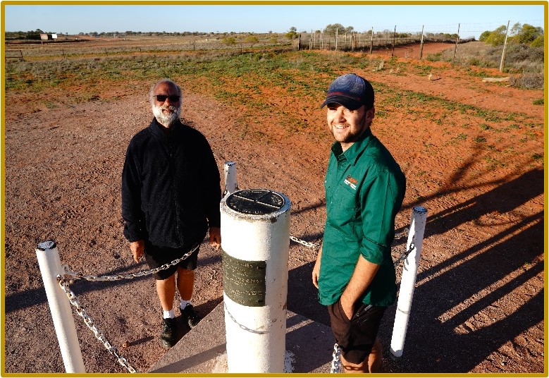
Later that afternoon we finally got to Cameron Corner and stopped for the obligatory photo. This time with only the three of us, we could have each of us in a different State.
Driving onwards from CC, the sun was getting low on the horizon, so we set our sights on camping at Fort Grey in the Sturt National Park. Keeping unwanted wildlife out and the
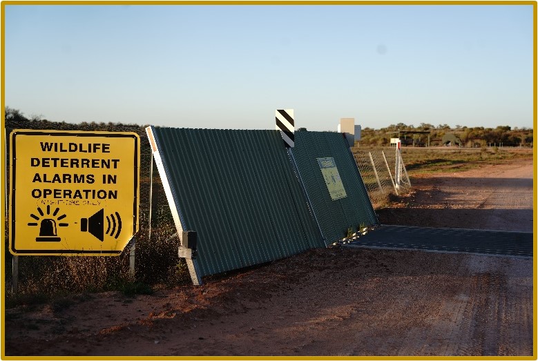
wanted within the National Park, there are some electronic devices which deter movement through an invisible barrier. Bilbies and quolls are being protected through a feral predator-free project and from all reports they’re thriving, so the deterrents appear to be doing their job.
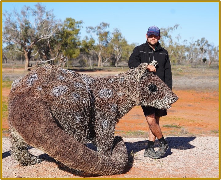
Bringing your attention to the plight of the wildlife are megafauna sized wire models of little furry animals together with appropriate explanations.
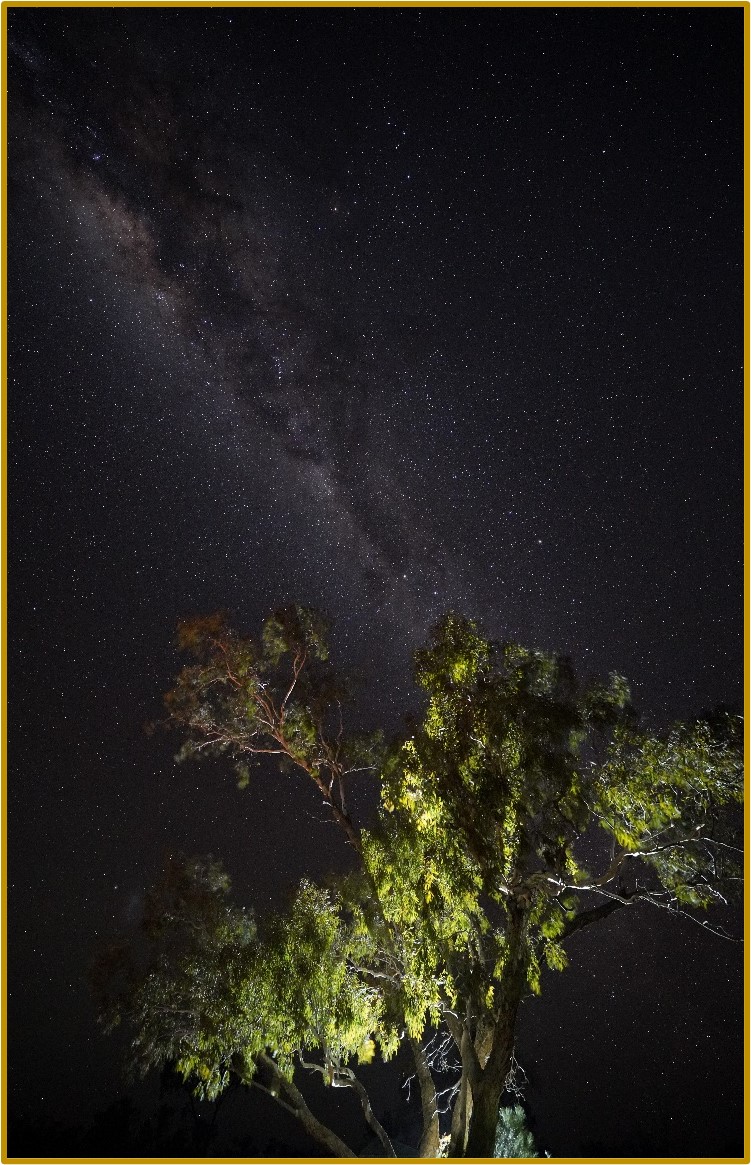
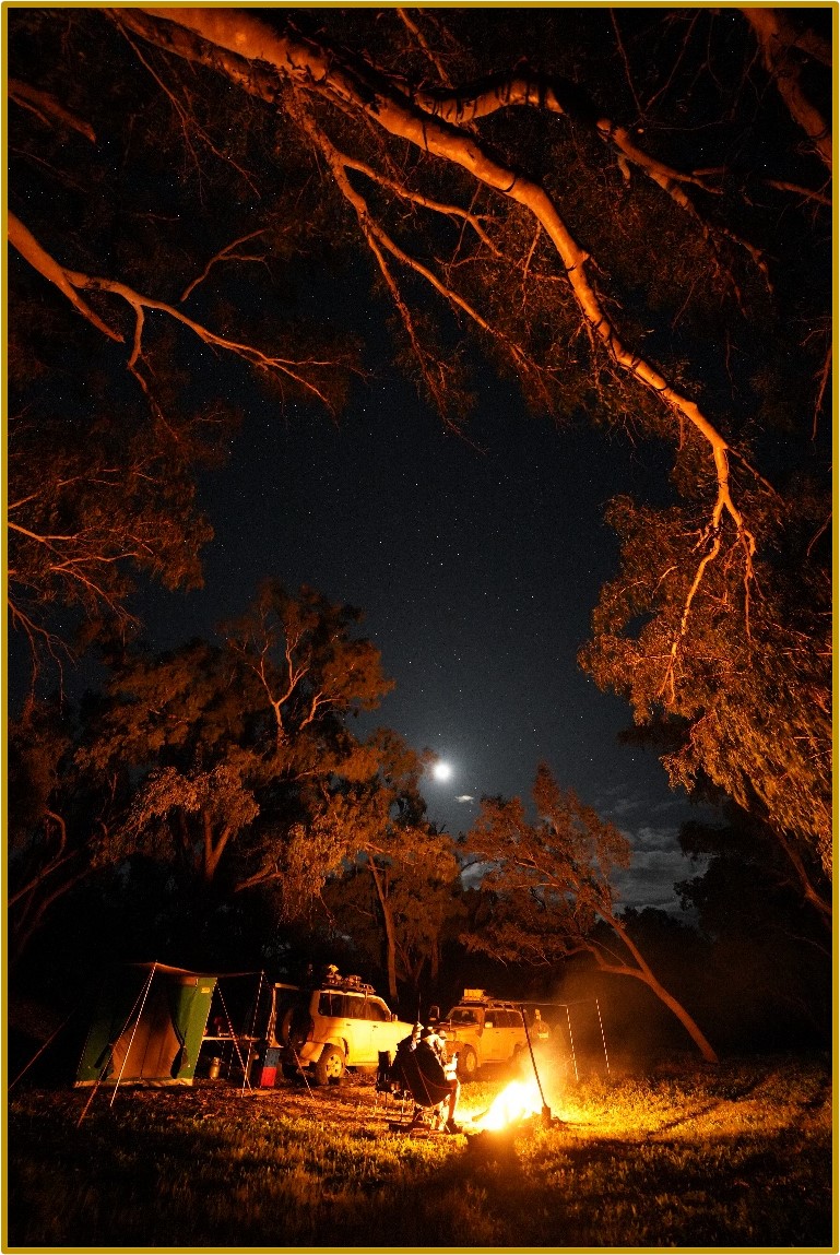
After setting up camp and demolishing dinner, we played with night photography again with varied results.
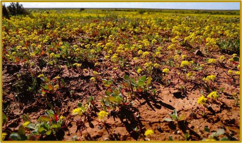
Compared to our last visit here a few years ago, when the landscape was totally desolate, the countryside was alive after months of on and off again rain with many wildflowers carpeting the land.
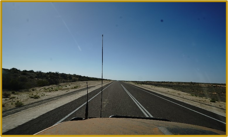
A leisurely drive to Tibooburra saw us at the fuel pumps by mid-morning. After our Elevenses, we turned south towards the turnoff to White Cliffs.
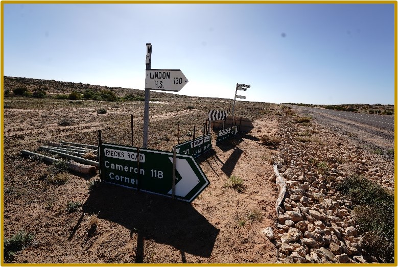
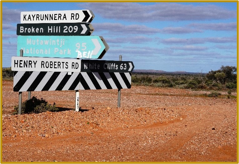
Although there’s never any substitute for preparing a good itinerary and having a few decent navigation aids, the quality road signs we encountered would enable you to get to most major destinations.
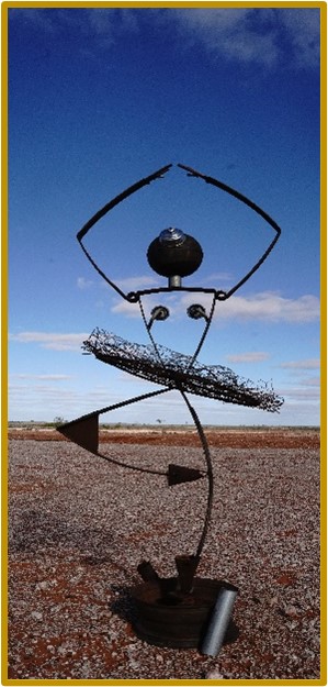
There must be plenty of budding sculptors in the outback! Enroute to White Cliffs we came across a version of ‘The Thinker’ as well as a wiry ballerina.
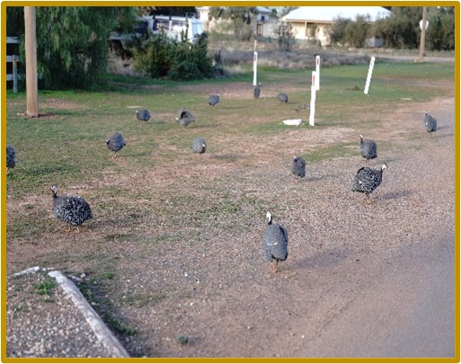
Upon reaching White Cliffs, we set camp in the town caravan and camping ground and wondered what all the noise was about. We found the answer! A flock of Cape Barren Geese honking their way around town.
We walked around town and ended up at the local pub where we had a hearty dinner.
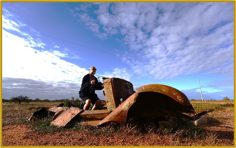
Today, the plan was to get to Kallara Station near Tilpa for the night. Enroute, we found a few wrecks of cars and Phillip decided he’d like to drive one home.
There was plenty of evidence of the rain that had fallen throughout the last several months with little bare ground between the scrub and good feed for the cattle. It was an easy drive across the plains and we soon found ourselves at Kallara, where we asked where they would prefer us to camp. They said ‘anywhere down there’, pointing towards a gate and the paddocks beyond. We found a spot above the Darling River, on flat ground with more firewood than we could ever use. The campfire was soon ablaze and we settled into a great night in the bush.
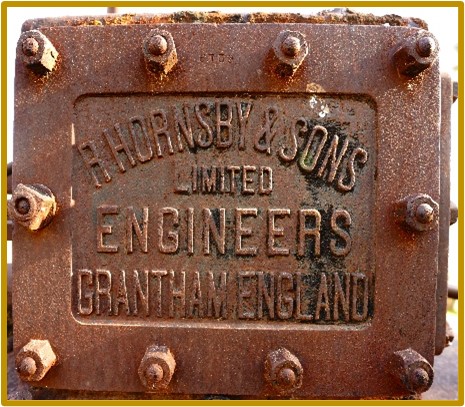
Next morning, we went back towards the main camping area and enjoyed hot showers and then took photos of various farm remnants from yesteryear as commonly found on many stations.
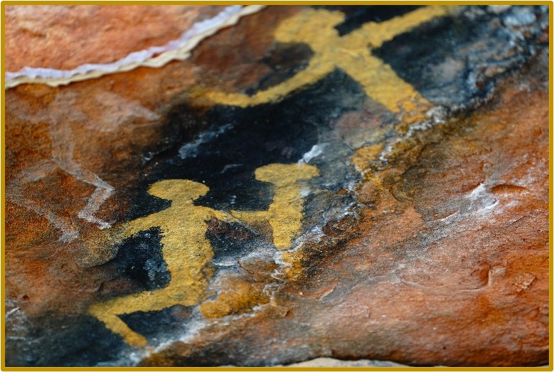
The road down from Tilpa towards the Barrier Highway was in good condition with parts of it recently graded and close to the Highway, it was sealed for about 15kms. We saw Mt Grenfell Historic Site on the map and decided we would stop in for a look on the way to Cobar. This historic site is about 30kms north of the Barrier Highway on sealed roads and protects the Ngiyampaa rock art within the park and a short or a longer walk is the way to view these. You start these walks from the same place, that being the recently renovated picnic area, and the signposts and markers take you around the 4km loop around the rock art and includes the Choy trig station at the summit of Mt Grenfell.
The campground in Cobar is on the Barrier Highway which never stops carrying traffic on the east west journey, so we settled on Meralda Station, just 5kms from town. The facilities here are basic a good and clean and offer fireplaces and hot showers. It was turning into a very cold evening, so we opted for a bucket of firewood from Meralda which kept us warm over the two nights.
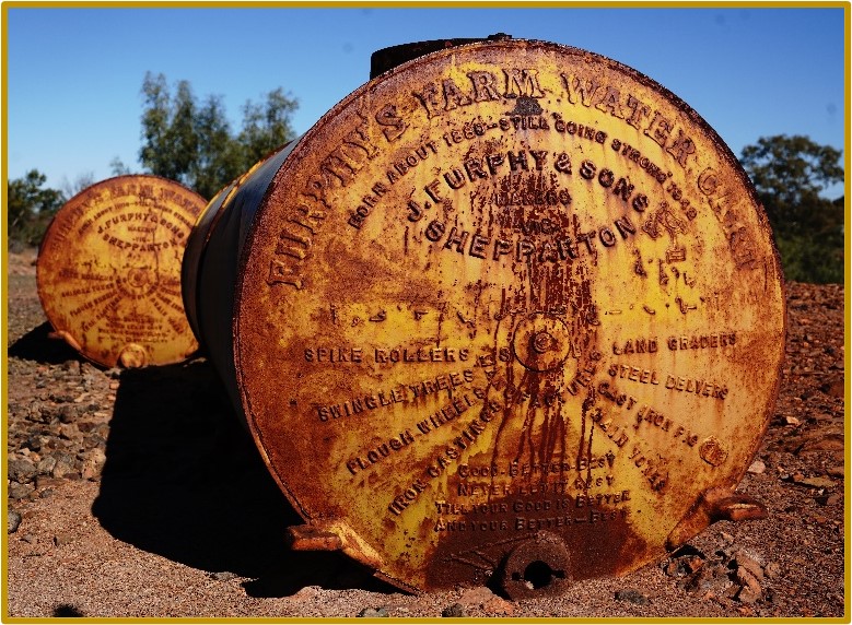
The next day we spent most of our time exploring the Great Cobar Museum and Visitors Centre and learnt much about the harsh conditions of early settlement in and around Cobar. How the miners, pastoralists and towns people managed to eke out an existence and thrive is quite remarkable. They even have a ‘Furphy’ or two!
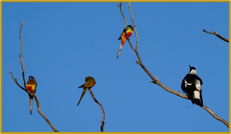
Our last morning on our trip had us waking to bird song, with butcher birds, parrots and magpies competing for the airwaves.
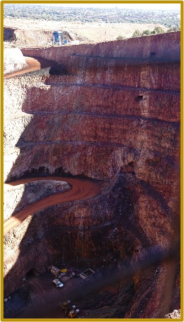
After packing up, we visited the Fort Bourke Hill Open Cut Mine which is still pulling out a variety of ore and gold from deep beyond the visible pit.
Heading back towards home, we joined up at Narromine where we said our goodbyes and wished each other well on our homeward journeys. Phillip was going home via Mudgee and the Drummonds were heading straight home. We both agreed it would have been great to have completed the Madigan as we had planned, but were also glad of the opportunity to enjoy and see other parts of the country.
Until next time Madigan…
Rob Drummond