Trip Report – The Madigan Line Part 3
Monday July 3 – Thursday July 27, 2023
Rob & Alec Drummond – Nissan Patrol
Phillip Favaloro – Nissan Patrol
Continued…
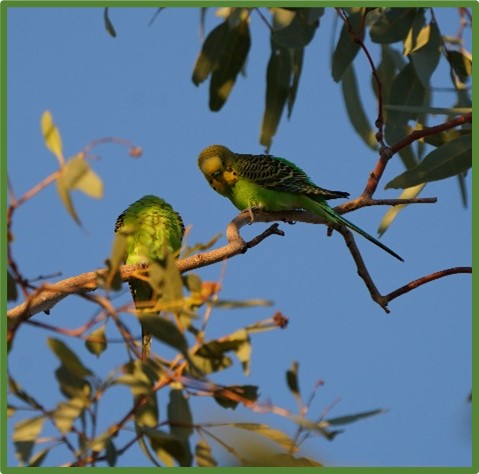
Next morning, we awoke to a cacophony of budgerigars. Alec stoked the embers of last night’s fire; Phillip repacked his water tanks and Rob chased the budgies with his camera.
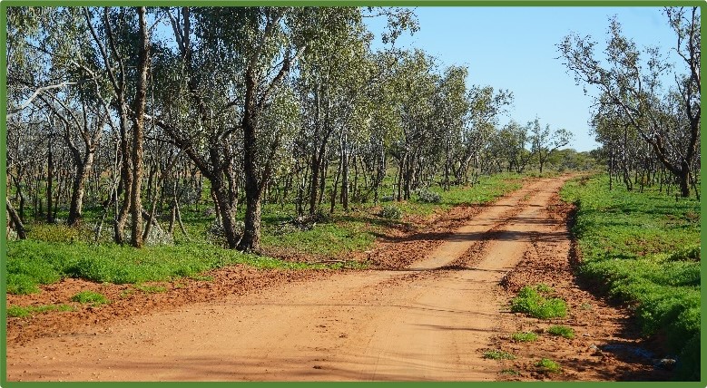
Today we were on our way to Mt Dare only 11kms away to the south, retracing Binns Track to Andado before heading west to New Crown, then south to Charlotte Waters and finally to Mt Dare. A drive of 224 kms of dirt road to get to a destination only 11kms away, but at least we won’t get bogged!
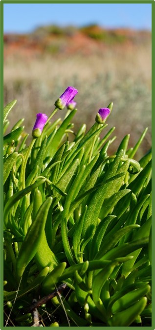
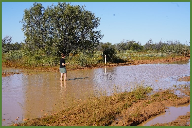
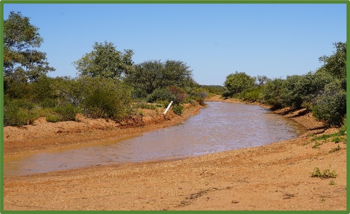
There had been a lot of rain over the previous weeks and months and the amount of colour around was spectacular.
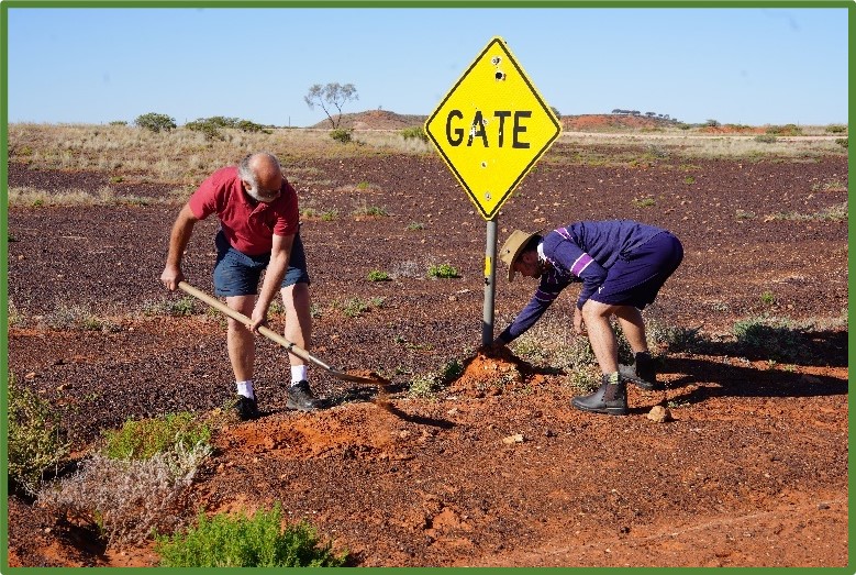
Along the way we passed through many gates, mostly closed, many carrying signs asking for respect for their biosecurity status as accredited organic properties. Phillip spotted a road sign that had hit the dirt and asked that we exercise our community spirit and raise it to its regular position. Not much chance digging a hole in this country! so we did our best and completed the task by piling rocks around the post much like crosses on graves in a spaghetti western.
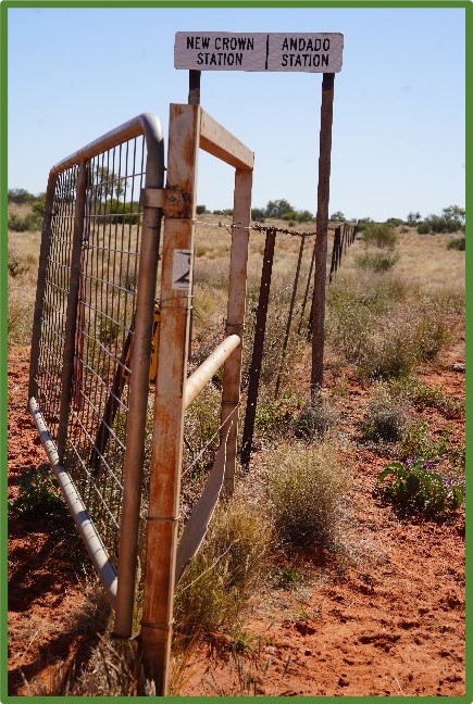
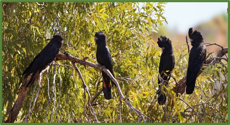
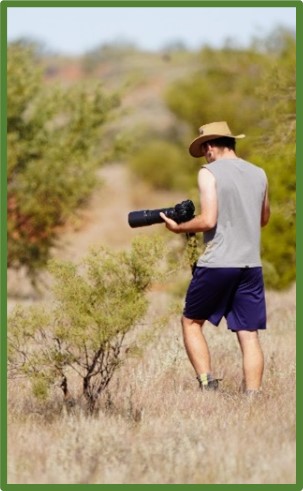
The track goes through stations, and the names of these are familiar to those who have spent time perusing maps of the outback. They are private properties and working stations, so don’t expect a township with shops or use of any facilities; just be thankful for the ability to traverse their lands and a tree for shade as you munch your lunch. Just before reaching New Crown, Rob spotted a flock of red-tailed black cockatoos in some trees near the track. Within moments it was out with the long lenses and shutters were snapping away.
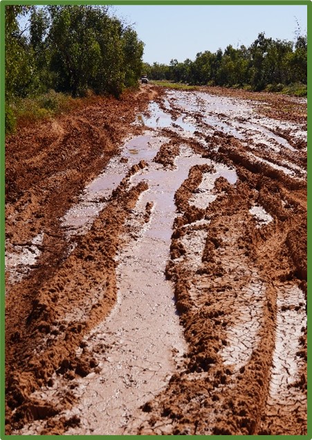
The condition of the tracks was causing us concern for any thought of doing a Simpson crossing, having abandoned the Madigan. We encountered a few sections where water completely covered the track or where it looked as though we were trying to get around an inland sea.
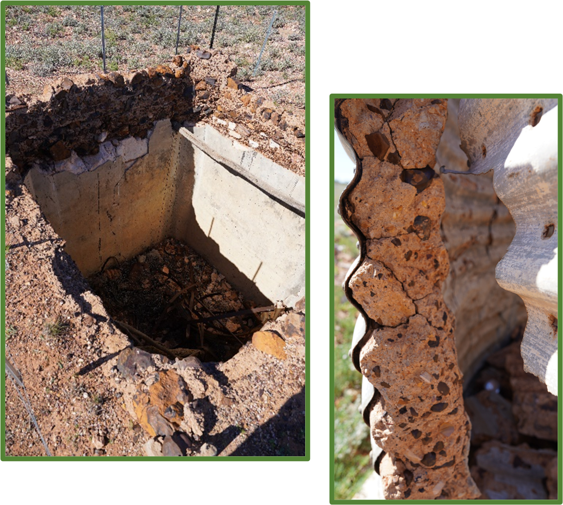
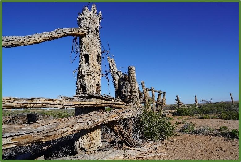
We arrived at Charlotte Waters which began in 1871 as part of the Overland Telegraph network, before technology forced a change of personnel when the police took over in the 1930’s. All that remains now is evidence of efforts to provide full time water storage to all the travellers and scientists who ventured to this remote location. After spending time walking around the site, we hopped into the cars for the final section to Mt Dare.
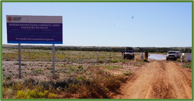
More water at the border! When will this end? Only a few more km’s until we reach Mt Dare and the day was getting long. With less than a few hundred metres to go, we encountered a road block of several vehicles and more water! We found out that a group of 5 vehicles had sent a car suffering from several issues first into the mire to see how far it would get. It didn’t get too far before stopping where apparently, it was not possible to drive past.
The way forward was therefore blocked to any traffic and delayed us getting to camp for over an hour. Eventually someone from Mt Dare came to the rescue by driving a distance around the ‘main’ problem.
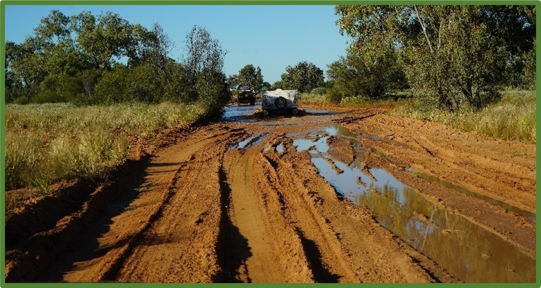
We followed him through more mud and water to the dry of Mt Dare.
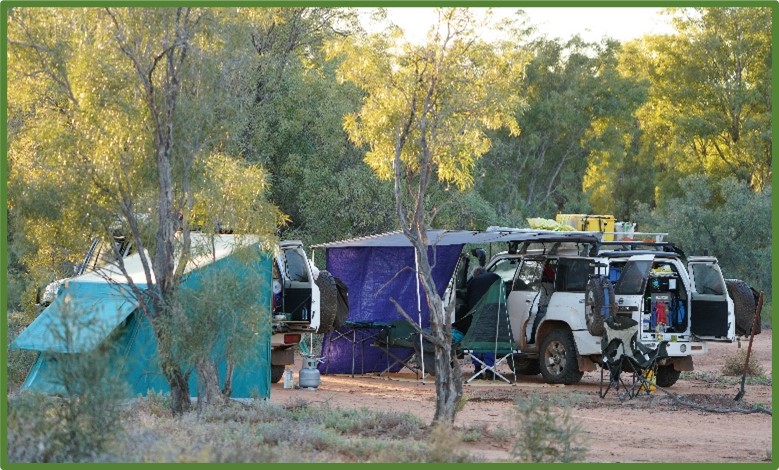
Safely at Mt Dare we spent the rest of the remaining daylight doing some washing, calculating fuel requirements and topping off an action-packed day with a hearty meal at the Pub.
The next morning, we packed away our clean washing and camp and set off toward Dalhousie Springs. We had found out that we could possibly do a Simpson crossing as the “Simmo is open from the east” but there was some conjecture about where Eyre Creek would be crossed. As we were unable to get definite information, and not wanting to risk running out of fuel if needing to retreat westwards again, we decided discretion was the better part of valour and to re-route our trip south along the Oodnadatta Track.
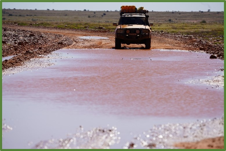
Did I mention that there was water around?
Immediately after leaving the Mt Dare compound, we encountered more water, but as we had been advised how best to tackle the obstacle, we drove through the middle at a slow, steady pace to continue on our way. There were several chicken tracks around the water, but these are unnecessary as the base on the tracks is quite firm, even after being soaked for a few months.
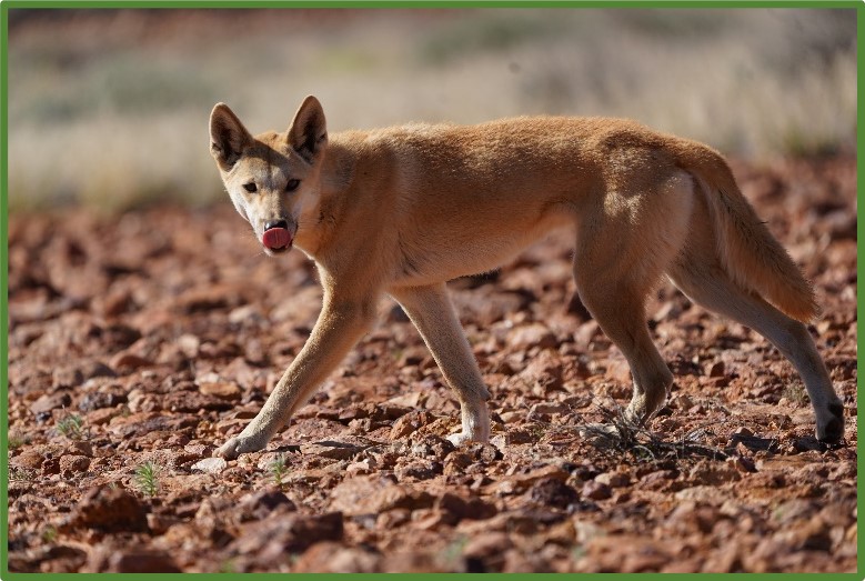
Close to Dalhousie we came across a dingo close to the road. He obliged our efforts to get some photos before trotting off.
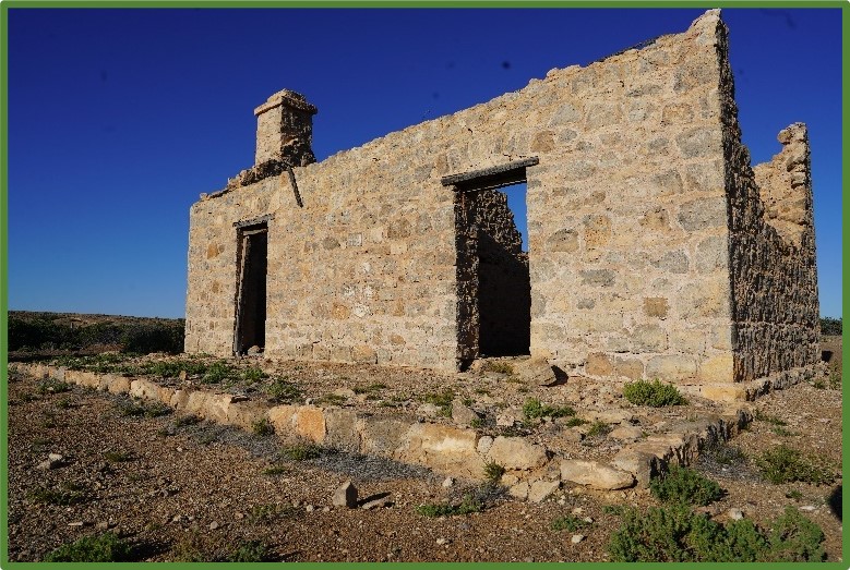
If you’ve never had your toes nibbled by little fish, then get to Dalhousie Springs and float around in the approx. 37 degree waters. These 30mm long ‘Dalhousie gobys’ feed on algae, snails and humans! Having spent enough time to complete our personal grooming by our little hosts, we quickly dried off in the desert warmth and set off towards Dalhousie station ruins. The station was built in the 1870’s from the local limestone from the surrounding springs and was abandoned in 1925 until it was taken over by Department for Environment and Heritage in 1984. It is currently in a state of ‘maintained ruin’, whereby the remains are being conserved in their current state.
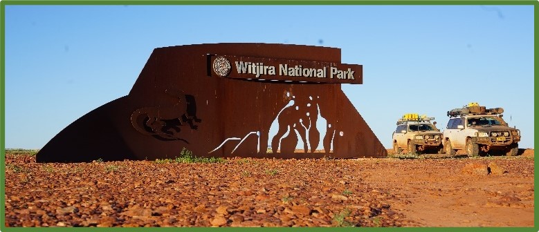
Not long along the track we left Witjira National Park and started searching for a camp for the might. The wind was pretty stiff from the west that afternoon so getting a sheltered spot would be nice.
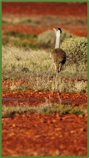
Whilst searching, Rob spotted an Australian Bustard and promptly got Alec to stop the car, jumped out, swapped lenses and proceeded to stalk the large bird before it flew off to a safe distance.
After crossing several creek beds, all with potential for a good campsite, we decided on a spot several hundred metres off the track and appearing to be out of the wind. We set up camp, fetched firewood, set the fire and waited for the wind to die down – it didn’t for a while. The sun went down, we had dinner and enjoyed the warmth of the fire before heading off to bed.
(to be continued)
Rob Drummond