Meryla State Forest Recce – Looking for the WW2 plane wreck
18th March 2017
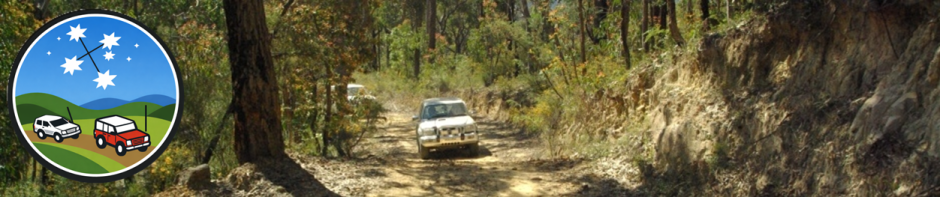
TRAX Fax version
We met at Pheasants Nest 7eleven and proceeded to Meryla SF. Turned into Meryla Road and stopped at the quarry and Gunrock Creek bridge. The creek was running fast and white. Crossed wooden causeway and right into track on the other side. Checked puddles for depth and kept out of ditches. Morning tea at clearing and walked to the water’s edge. Francois tested out his winch in rutted muddy section. One and half hours later we were on our way. At the end of the track, we viewed the dam wall and ate lunch. Water was pouring over the spill way. Took the black top to Fitzroy Falls. The valley was full of mist but you could still see the falls. Walked on the wet and muddy track to Twin Falls look out. You could see vehicles turning around near the falls. Ended trip at Bowral with a coffee.
Full Report
Weather forecast – Sun trying to get through a little blue sky, some fine patches, a little drizzle and of course RAIN.
We met Francois and Jack at Pheasants Nest 7eleven Service Station where Linda and I refreshed ourselves for the big day ahead. The two vehicle convoy departed and travelled along the Hume Highway to the Medway turnoff. In Moss Vale at Waite Street we were in the wrong lane and should have been in the left lane. Someone listening to our conversation said we could turn right and then left at the Holden dealer. This would take us under the railway line and put us back on track. We changed to the left lane and stayed on our nominated route. The second wrong turn was at Yarrawa Road and Mount Broughton Road. We did a U turn in Bibbys Lane and back onto Yarrawa Road where we turned right onto Meryla Road. Down the road, we passed a quarry on the left and went back to check it out. Then our route went over a one lane wooden bridge at Gunrock Creek and we stopped to check, as the water was flowing very fast. Passed Gunrock Creek Fire Trail on left which I had this marked as a track on Oz Explorer.
We then went over a wooden causeway and saw track on right with open gate and I backed up and turned onto the track. Stopped at a puddle to make sure it was safe before proceeding. This happened all the way along the track. Just wanted to stay safe. One section of the track had a deep rut that eventually came to a big hole (gouged out track). We were able to crossover onto a chicken track and go around.
We stopped about 11.00am for morning tea (fine weather) at a clearing. Just past the clearing was a fork in the road. After morning tea, we went to explore on foot. We took the track to the right (as per direction of travel). This took us down to the water’s edge and going straight ahead that is where you would end up. Straight in the water. No idea where it came out the other side. There was a track off to the left but looked a bit over grown so we decided against it. We went back to the vehicles and to the left fork near the clearing.
Just down the track was a badly rutted section and the soil was black in nature. There was also a track off to the left. We checked out the rutted section and knew it would be difficult to get through. Francois checked out the other track and found it was a chicken track. The track had scrub growing along it. I took the chicken track and waited at the end. Francois wanted to try out the rutted section. I walked back to watch. He proceeded about 5 metres and then started spinning the wheel with no forward movement. Used the old back and forward movement with no success. Ended up, having the back of the vehicle pointing into the bushes. It was time to find a big tree and get out the winch.
During the recovery it was mainly fine weather but we did have a little rain. The winching was done in four stages. The first pull removed him from his stuck position. The vehicle left gouge marks on top of the mounds. The next pull was used in an attempt to get out of the rut and onto high ground. No success but we were further along the track. The 3rd pull would have dragged the vehicle along the side of the bank. Winching 101- vehicle goes in a straight line – tracks curves. Solution find another tree and use a block. For the last pull we used my vehicle so we could get a straight line, This was a double line with the block attached to my new yellow recovery point. One and half hours later we were back on track.
The track ended at a tree and a small clearing. You could hear the water running. Francois found a walking track and we followed it down to the dam wall. The water was gushing over the spill way. Like in those extreme sports and SOLO ads, I could see KAYAKER going over the edge and paddling off into the distance. We stayed a while to take pictures and take in the view.
We went back to the vehicles for lunch and after lunch we proceeded back on the same track. The weather had changed again. Francois did not take the rutted section but I tried to rip out the back light. I was keeping away from the big hole and misjudged the departure angle on the driver’s side. Our next stop was Fitzroy Falls and before turning left onto Meryla Road I reversed to release the auto hubs.At the Quarry were a heap of vehicles and a flat top tow vehicle. You can only guess what they were loading or unloading.
We turned right onto Yarrawa Road and on our way to the falls. I think that was the entrance to the visitor centre. Oh well, U turn at the service station. Turned in and found a parking spot. I was surprised to see so many cars on such a wet day. $4 later and we were on our way to see the falls. Spray jackets on and umbrellas in hand.
We spent a few moments going through the Visitor Centre before going to the falls. Down under the road bridge, the track over the water was closed and they had removed the two hand rails. Looks like they were expecting a lot more water. The water was already roaring. At the viewing platform, you could not see into the valley. What a mist! What you could see of the falls was truly amazing.
We decided to take a walk along the track and go to Jersy Lookout. The track was covered with water and plenty of mud. At the lookout you could see, well not much. What to do next; go to the twin falls or the visitor centre. Twin Falls was only 600m return, so on we went. At the Twin Falls Lookout, we could see one fall clearly and glimpses of the other one. We even saw glimpses of vehicles near the fall. Red Hill Fire trail goes over (through) the water that feeds the fall and I went up the road to inspect.
It was only a short stroll to the creek. The water was pumping over the road but I noticed a foot bridge and ducked through the bush to the path and crossed for a view from the other side. All the vehicles had turned around and gone as the water was running too fast over the causeway to cross safely.
I went back to met the others and show off my pictures. We returned to the visitor centre. Francois knew of a good coffee cafe at Bowral, The Elephant Cafe and led the way. We only just made it before closing at 5.00pm and had to get take away. This was consumed at the door before we said our goodbyes and what a great day we had had. When I was at home, Linda noticed blood on my right knee but the blood was coming from my left ankle. Looks like I had a free loader of a leech.
See you on the 25th March for the real trip.
Trips @trax.org.au